

(Image source from: kathmandupost.com)
After identifying Uttarakhand’s Pithoragarh as its own, Nepal now inscribed these changes in its curriculum for secondary school students.
Nepal has passed an amendment three months back to sanction a new map for the territory which includes Uttarakhand’s Pithoragarh as its area.
Recently, Nepal has made changes to its textbook named, Nepalko Bhubhaag Ra Seemasambhandhi Swadhyay Samagri, translated as Nepal’s Geography and Territorial Boundary where the new area has been included in the curriculum which has been introduced for the secondary school students.
The preface of this textbook has been written by Pokharel. The book contains the disputed area of Kalapani as its own arena.
According to the latest census, Nepal has a total geographical area of 1,47,641.28 sq km of which 460 sq km is the Kalapani area in Uttarakhand which legally and officially belongs to India.
Nepal’s education minister, Giriraj Mani Pokahrel confirmed that the book has been introduced for the secondary school students and that the preface was written by him.
Moreover, Nepal’s government headed by Oli had asked the central bank to mint the coins depicting the new political map.
Earlier, the Nepal government has amended the constitution and claimed Limpiyadhura and Kalapani as its own areas.
Sources say that the decision to mint the coins depicting the new map was announced by Nepal’s spokesperson and foreign minister Pradeep Gyawali. The new coins will be out for the public by Dussehra which is celebrated as Dashain in Nepal.
In November last year, the Nepal government had protested against the inauguration of Lipulekh road by the Union Defence Minister Rajnath Singh in Pithoragarh.
The neighboring country alleged that that part of the Pithoragarh stretch passed through Nepal’s territory.
After the latest dispute over the three areas of Limpiyadhura, Lipulekh and Kalapani, Nepal’s parliament has unanimously voted to amend the constitution in order to update its geographical map containing these three areas.
The government had recently announced that all the documents and government offices will now use the newly updated map.
A source spoke to Times of India and said that it is now legal to introduce the new map and the newly minted coins in the curriculum for students because the government duly followed the course of action.
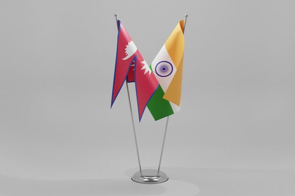
Many people in Nepal now believe that the disputes between India and Nepal are growing day by day and a resolution regarding this is required.
The issues should be resolved through dialogue and a solution must be found through this as early as possible.
By Gayatri Yellayi